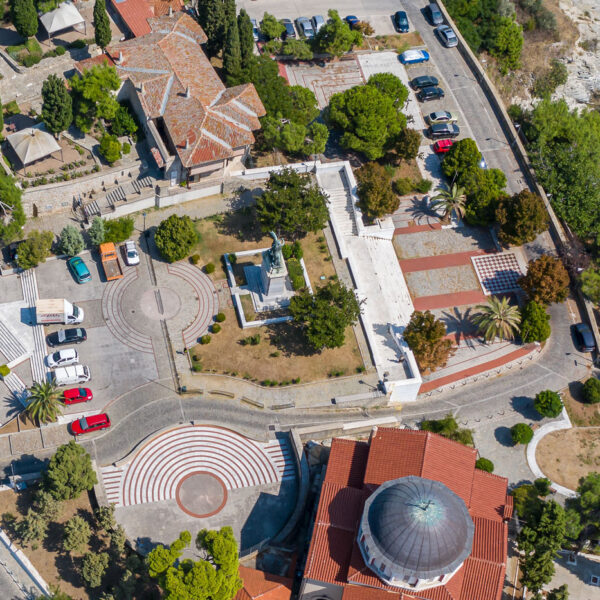
Fortress of Kavala
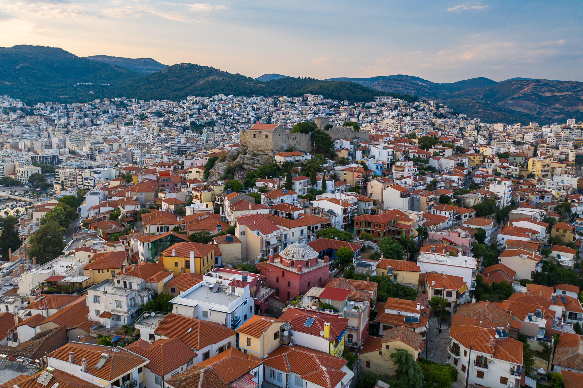
The Fortress of Kavala sits atop the Panagia peninsula, overlooking the city and the Aegean Sea. As one of the most iconic landmarks of Kavala, it crowns the old town, blending in with the surrounding traditional houses. Its presence and views are a must-see, and its complexity and history tell the story of Kavala’s importance throughout the centuries.
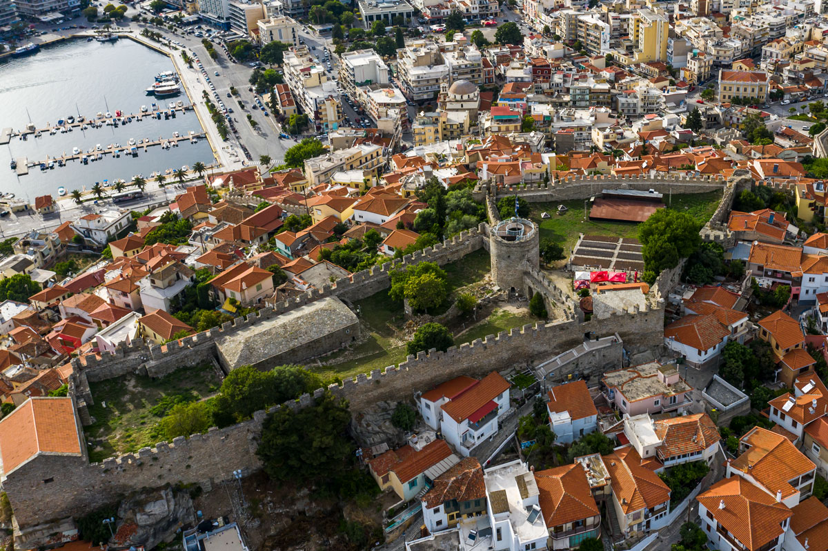
The fortress is a complex of fortifications built in different phases, a mix of Byzantine and Ottoman military architecture. It is divided into two main parts: the inner and outer enclosures.
The inner enclosure is at the highest point of the peninsula (70 meters above sea level). It’s almost rectangular (49 x 30 meters) and naturally fortified on three sides. This is where the main defensive facilities and internal structures were located: the central cylindrical tower for surveillance and final defense, the cistern for water collection, the “prison” building which was an ammunition and provisions warehouse, barracks and storage spaces.
The outer enclosure was built during the Ottoman period (probably between 1530-1536) and fortifies the lower, more vulnerable slopes of the hill. Its irregular shape follows the terrain and has two square towers in the northwest and northeast corners, a polygonal tower on the eastern wall and a bastion in the southeastern corner.
There are three entrance gates to the fortress. The Kapsali Gate has a scalding chamber for defense. The Isidorou Gate is the one used by visitors. The inner gate, next to the cylindrical tower, was the only entrance before the outer enclosure was built.
The materials used are local granite, reused bricks and marble fragments, bound with lime mortar. The fortress lacks the features of later gunpowder-era defenses, as it’s from the “white age” of medieval fortification, built to protect against conventional arms like arrows and swords.
The site is full of history. It was part of ancient Neapolis, a city built at the crossroads of the two main trade routes: the north-south route (Thassos – Kavala – Mount Pangaion) and the east-west Via Egnatia (Rome – Kavala – Constantinople).
Neapolis was a member of the 1st and 2nd Athenian League and was conquered by Philip II of Macedon. The Byzantines renamed it Christoupolis and it was the first European city to receive Christianity from Apostle Paul.
The fortress has undergone several construction and reconstruction phases.
In the early 14th century the “para Christoupolis wall”, a defensive wall built by Emperor Andronikos II Palaiologos in 1302, still stands in northern Kavala. It was built to defend the straits. In 1390-1391 the city was besieged and partially destroyed. In 1425 the Ottomans started to rebuild the damaged parts of the fortress to prepare for a possible Venetian attack.
Between 1530-1536 major renovations and the outer enclosure were done under Suleiman the Magnificent as part of a broader plan to strengthen the empire’s coastal defenses (similar works were done in Thessaloniki).
The inner enclosure is believed to have retained several Byzantine elements, the central tower, the cistern and parts of the curtain walls. The zematistra (a defensive overhang for dropping boiling substances) near the NW gate is also a typical Byzantine feature.
The fortress is mentioned in many Byzantine texts, Ioannis Kantakouzenos describes Christoupolis as a “keystone” fortress controlling both land and sea.
Kavala and its fortress changed hands many times. From the 12th century onwards it is mentioned in historical sources. In 1204 it was captured by the Lombards. In 1208 it was passed to the Franks. It returned to Byzantine control and then was taken by the Ottomans in 1391.
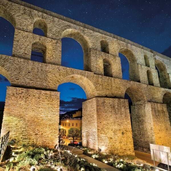
The fortress served not only military purposes but also to safeguard the port and the nearby Kamares Aqueduct. Its design and position show that the city was always an important commercial hub and strategic stronghold.
Local Interest
Today the Fortress of Kavala is open to the public and you can walk through the city’s layers of history. From up high you can see the sea, the old Panagia district and the whole city.
You can walk through the inner and outer walls, the central tower which can be climbed for views and photos and the old cisterns and partially restored inner structures.
In the summer the fortress is also a venue for cultural events, concerts and theatrical performances. As you walk through the ancient gates and along the worn walls you can see why this has been the sentinel of Kavala for centuries – a silent witness to all the changes and the city’s soul.
Map
VISIT
Fortress of Kavala
Isidorou 18, 65201, Kavala
Hours
All Year Daily:
May 1 to September 30: 08.00-21:00
October 1 to October 31: 08:00-17:00
November 1 to March 31: 08:00-16:00
April 1 to April 30: 08:00-20:00
For updated information, visit:
Website: www.castle-kavala.gr
Reduced admission (6 – 18 years old, groups of 10 or more people accompanied by tour guide)
Children up to 6 years old, school field trip escorts
Pricing
April-September:
Full: €5,00
Reduced: €3,00
Children up to 6yrs: Free
October-March:
Full: €4,00
Reduced: €2,00
Children up to 6yrs: Free
Contact Information
Isidorou 18, 65201, Kavala
Telephone: +30 2510 838602
Website: www.castle-kavala.gr

